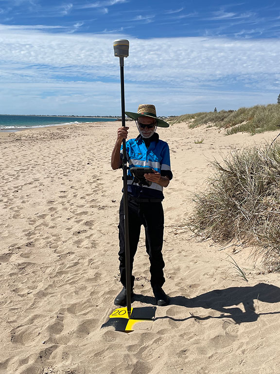
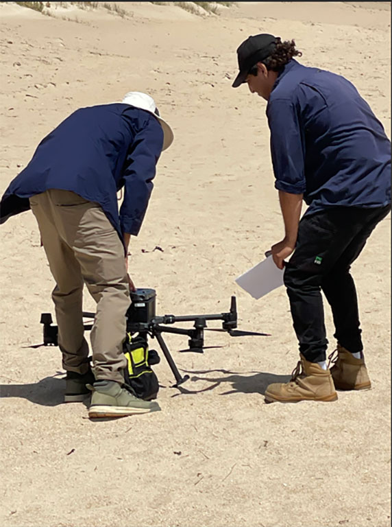
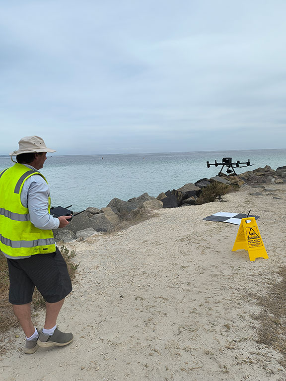
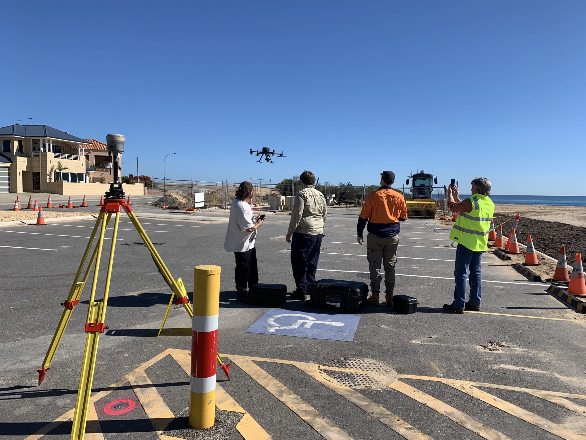
The PNP is working with Winjan Aboriginal Corporation, Department of Transport and Major Infrastructure and Main Roads to undertake monitoring of vulnerable coastal areas using drones. This project is generating high-resolution imagery and digital elevation data of the seasonal changes in the Cape Peron to Cape Naturaliste region.
The program is enhancing the current coastal monitoring program by addressing a data gap with modern technologies and is building the capacity of traditional owners and local coastal decision-makers. This high-resolution Digital Elevation Model (DEM) data that is being captured seasonally, is providing valuable information for coastal decision-makers to identify sediment volume change and shoreline response to extreme events and sea level change. This information that is available here, is fundamental to making more informed coastal planning and management decisions.
The PNP would like to acknowledge the Western Australian Department of Transport and Major Infrastructure and the Australian Government National Emergency Management Agency who partly funded this work.